Posts | Comments

Planet Arduino

Archive for the ‘map’ Category

Maps can be a great way to get a message across when the data you’re dealing with affects people on a country’s population scale. [jwolin] works for a non-profit organization, and wanted a way to help people visualize the extent of their operations and the causes they deal with. To do that, he created a nifty smart map wall display.

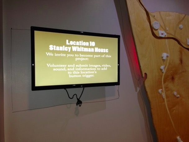
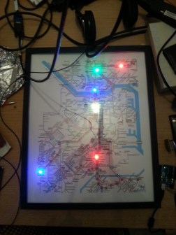
The display consists of a world map cut out of MDF, and affixed to a brick wall. There’s also two 4K Samsung monitors included as part of the system. The top monitor displays headings to contextualise the data, while the bottom screen displays related full motion video. A series of DMX-controlled lights then shine on the world map in various configurations to highlight the area of interest.

The system requires delicate coordination to operate cleanly and smoothly. There are three Windows 10 computers in the system, one for each monitor and another for the world map. An AutoHotkey script runs on the first computer, which selects a random video, and then sends out a command over serial to an Arduino Nano. This Arduino nano then communicates with two others, which make sure the second screen and DMX lighting rig then play the correct matching sequences, in time with the main video. Special care is taken to ensure that transitions are as smooth as possible, with no gaps in between each sequence. The entire installation is simple to update just by uploading additional content to a Dropbox folder, a crucial touch to future proof the project.

It’s an eye-catching system that helps educate visitors as to the mission of the organisation. We’ve seen other innovative world-map displays, like this clock that highlights night and day around the world. Video after the break.

MapProject

A group of students from Farmington, Connecticut partnered with artist Balam Soto and master teachers Earl Procko and Jim Corrigan to create a community-based sculpture project that allows people to explore the sights, sounds and history of their town through new media.

The installation runs on Arduino Uno and XBee, and is comprised of two panels which act as viewing screens for multiple visual projections. Visitors can interact with the display and manipulate the images using 24 buttons placed on the physical map. Plus, they are encouraged to record and add their own stories and memories of Farmington to the ever-growing multimedia library.

MapProject03

Permanently exhibited in Farmington’s public library, the Farmington Map Project was also the opportunity to introduce the students to physical computing, digital fabrication, woodworking, Arduino programming, and to the potential that Makerspaces have to offer for bringing ideas to life.

The project was created with the support of an Arts in Education Mini-Grant, funded by the Connecticut State Department of Education, the Department of Economic and Community Development, the Connecticut Office of the Arts, and the Connecticut Association of Schools, Farmington High School’s Fine and Applied Arts.

Interested? Check it out on Hackster.

Sep
15

Subway radar

Public transit can be a wonderful thing. It can also be annoying if the trains are running behind schedule. These days, many public transit systems are connected to the Internet. This means you can check if your train will be on time at any moment using a computer or smart phone. [Christoph] wanted to take this concept one step further for the Devlol hackerspace is Linz, Austria, so he built himself an electronic tracking system (Google translate).

[Christoph] started with a printed paper map of the train system. This was placed inside what began as an ordinary picture frame. Then, [Christoph] strung together a series of BulletPixel2 LEDs in parallel. The BulletPixel2 LEDs are 8mm tri-color LEDs that also contain a small controller chip. This allows them to be controlled serially using just one wire. It’s similar to having an RGB LED strip, minus the actual strip. [Christoph] used 50 LEDs when all was said and done. The LEDs were mounted into the photo frame along the three main train lines; red, green, and blue. The color of the LED obviously corresponds to the color of the train line.

The train location data is pulled from the Internet using a Raspberry Pi. The information must be pulled constantly in order to keep the map accurate and up to date. The Raspberry Pi then communicates with an Arduino Uno, which is used to actually control the string of LEDs. The electronics can all be hidden behind the photo frame, out of sight. The final product is a slick “radar” for the local train system.


Filed under: Arduino Hacks, Raspberry Pi
Feb
26

ArduMap – Arduino mouse over map

arduino, map, uno Comments Off on ArduMap – Arduino mouse over map 

Arduino_UNO

A website that overlaps a photo of the Arduino UNO board, with the name and the goal of a component when you move your mouse over this component.

ArduMap – Arduino mouse over map - [Link]


  • Newsletter

    Sign up for the PlanetArduino Newsletter, which delivers the most popular articles via e-mail to your inbox every week. Just fill in the information below and submit.

  • Like Us on Facebook